Curious where golden beaches, mangrove lagoons, and pine-studded mountains all coexist in one Mexican state? This ultimate guide pairs cultural insight with a practical map of sinaloa mexico so you can visualize routes, cities, and side trips before wheels hit the road. From seafood-scented Mazatlán to the canyon gateway of Los Mochis, we highlight what to see, when to go, and how to move around smoothly. Scroll for an illustrated state map, smart planning tips, and local flavor.
💡 Key Takeaways
- Sinaloa has a population of over 3 million residents.
- The state boasts a rich cultural heritage with popular music genres like Banda.
- Mazatlán hosts one of Mexico’s largest and most vibrant Carnaval celebrations.
Overview of Sinaloa
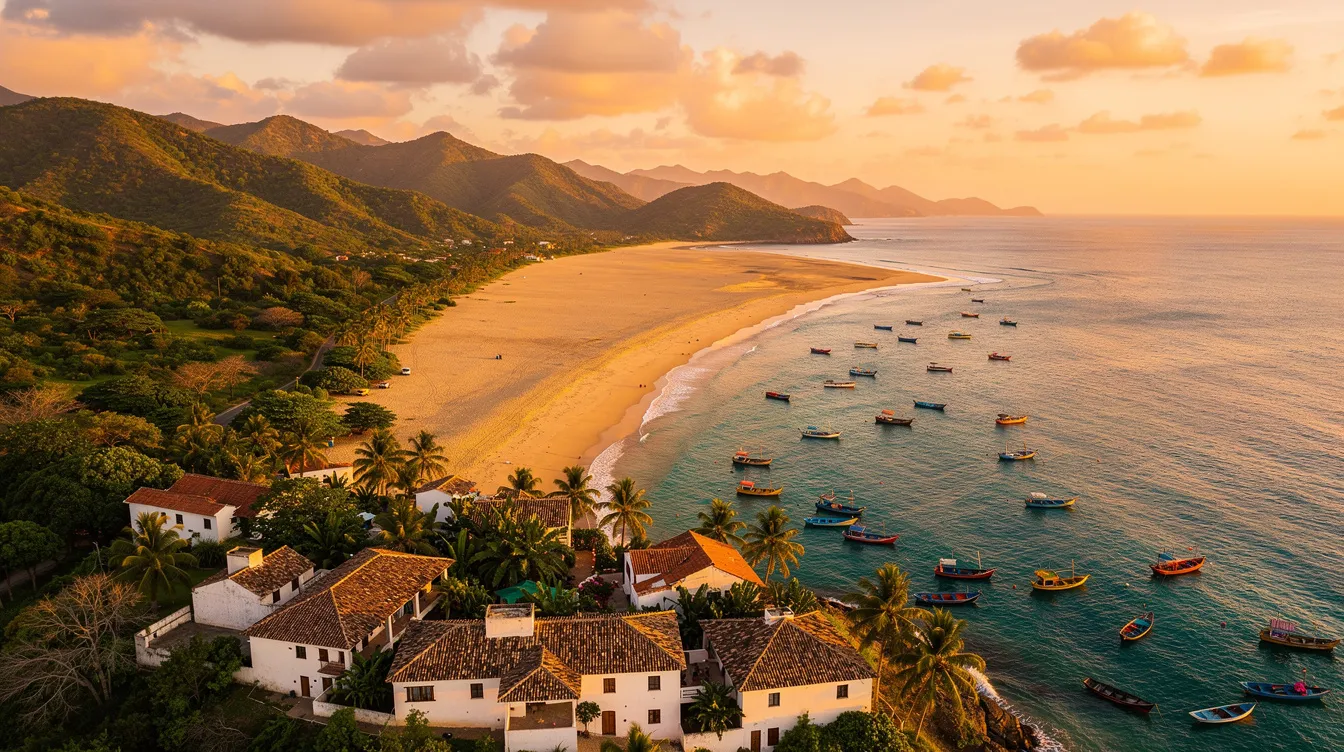
Set on Mexico’s northwest Pacific, Sinaloa stretches along the warm waters of the Gulf of California and climbs east into the rugged Sierra Madre Occidental. This dramatic range of habitats shapes everything from its famous seafood to rich farm valleys that supply much of Mexico. The state is home to over 3 million residents, spread across coastal cities, fertile river towns, and cool mountain communities with centuries-old mining histories.
One look at a map of sinaloa mexico shows a long, beach-lined coast punctuated by ports and resort towns, while the interior rises quickly to pine forests and canyon viewpoints. Three major river systems — the Fuerte, Sinaloa, and Culiacán — carve green corridors through the plains, fueling agriculture and anchoring travel routes. If you like variety in a single trip, Sinaloa lets you surf, taste, hike, birdwatch, and ride a world-class train within a few days.
To help you picture distances and plan day-by-day moves, use the illustrated map below. It pinpoints key cities, ports, and natural landmarks so you can sketch an efficient loop, whether you’re road-tripping, bussing, or flying in and out of different airports.
Approximate orientation map. Use it to visualize city positions, main corridors, and how coast, valleys, and mountains relate.
Major Cities in Sinaloa
Three urban anchors structure most itineraries: Culiacán in the agricultural heartland, Mazatlán on the beach-fringed south, and Los Mochis in the far north by bays and wetlands. On the map of sinaloa mexico they form a coastal triangle joined by Highway 15D, a reliable toll road for covering distance quickly. Each city has a distinct personality, so mixing them gives you both city buzz and sea breeze.
Beyond the big three, consider detours to El Fuerte for colonial charm and Copper Canyon access, Cosalá for a Pueblo Mágico feel in the foothills, and Concordia or El Rosario for crafts, churches, and mountain-coast backroads. With a couple of extra days, you can loop inland and back to the sea without repeating routes.
Culiacán: The Capital
Culiacán sits where the Tamazula and Humaya rivers meet to form the Culiacán River, which flows west to the sea. That watery backbone supports parks, riverside jogs, and a surprisingly lush vibe for a state capital. The Jardín Botánico de Culiacán blends native plants with contemporary art installations, while the Cathedral and central plazas offer a quick read on local life any evening of the week.
Food-wise, you are at the crossroads of farm and sea. Try chilorio — slow-cooked, spiced pork from Sinaloa — alongside ceviches that show off the coast’s freshness. For a market snapshot, swing through Mercado Garmendia, a lively maze of produce, cheeses, and tacos. If you plan to continue north or south, Culiacán’s bus terminals and airport make onward moves simple, and the road grid fans efficiently toward Mazatlán and Los Mochis.
Practical tip: daytime is best for intercity drives, and if you’re catching the Chepe Express to the Sierra Tarahumara, you’ll typically connect through Los Mochis or El Fuerte rather than Culiacán itself.
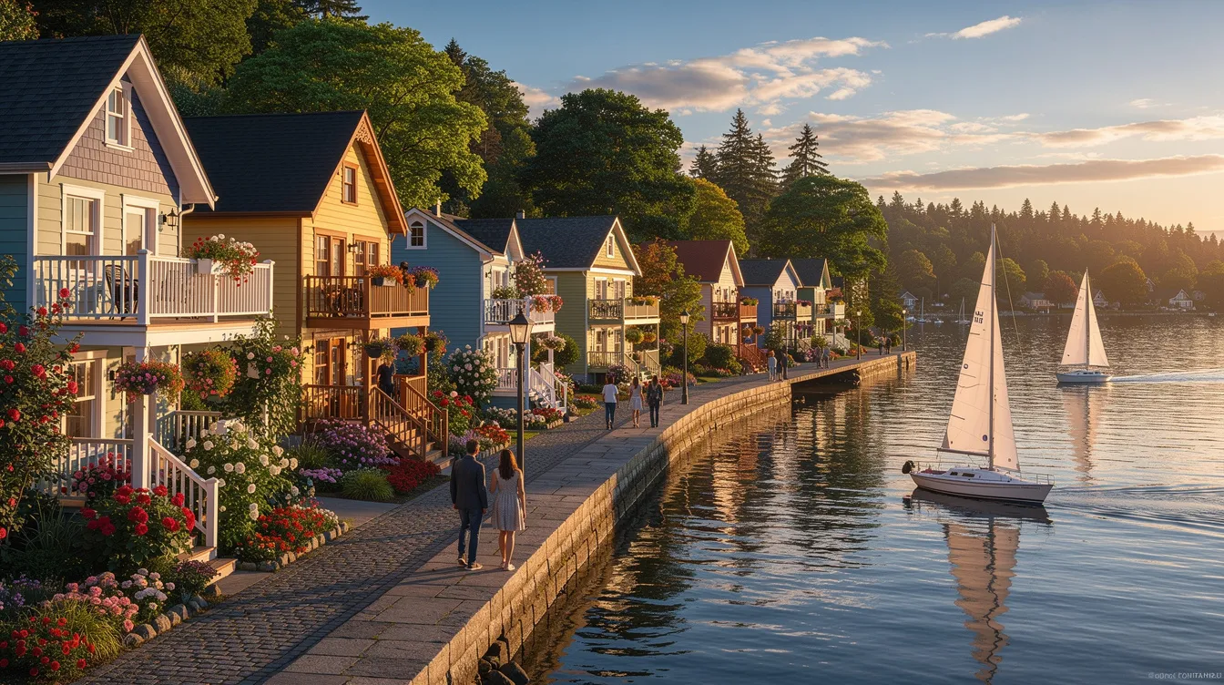
Mazatlán: The Beach Paradise
Mazatlán is the state’s calling card for sun and seafood. Its 21-kilometer Malecón strings together beaches, sculptures, and sunset viewpoints, while the restored Centro Histórico charms with 19th‑century facades, plazas, and the Angela Peralta Theater. The lighthouse hike at El Faro rewards early risers with sweeping harbor views, and nearby islands host quick snorkeling runs when seas are calm.
Days naturally bend toward the ocean here: surfers test Playa Brujas, families gather on Playa Olas Altas, and everyone finds time for aguachile, marlin tacos, and shrimp in all formats. Come late winter, Mazatlán explodes in color during its Carnaval, one of the largest in Mexico, with parades, concerts, and dazzling nighttime fireworks along the bay.
Los Mochis: Gateway to the Copper Canyon
Los Mochis looks north to wetlands and west to the deep Topolobampo Bay, where dolphins play and ferries link the mainland to Baja California Sur. It is also the preferred launchpad for the Copper Canyon railway: many travelers overnight here or in nearby El Fuerte before riding into pine forests, canyons, and viaducts on Mexico’s most scenic train line.
Between train times, detour to Playa El Maviri for beach shacks and fresh-caught fish, or to the Ohuira and Topolobampo lagoons for birding among mangroves. For a low-key culture hit, El Fuerte’s cobbled streets and riverside malecón make an atmospheric base with historic hotels and traditional Sinaloan cooking.
Cultural Highlights

Sinaloa’s soundtrack is unmistakable: the brassy punch of Banda. Born in towns and dancehalls, perfected by groups like Banda El Recodo from Mazatlán, this big-band style fuels weddings, street parties, and stadium shows alike. You will see bandas setting up on beaches, in plazas, and outside restaurants; drop a tip and request a song to turn any evening into a memory.
Food knits coast and countryside into a single bite. Fishermen bring in shrimp, scallops, and dorado, while farms fill markets with tomatoes, chilies, corn, and tropical fruit. The result is a menu that’s at once zesty and comforting, heavy on limes and chiltepín chiles, and perfect with a cold cerveza after a hot afternoon on the malecón.
- Aguachile: raw shrimp “cooked” in lime, with chiltepin heat and crunchy cucumber.
- Chilorio: shredded pork simmered in chili and spices, folded into tacos or tortas.
- Tamales barbones: Mazatlán-style shrimp tamales with tails peeking from the masa.
- Marlin tacos: smoky, meaty, and beloved at coastal seafood stands.
Pair bites with regional sweets and snacks from mercados, and keep an ear out for street-level serenades that might morph your meal into a mini fiesta. Layer these tastes and sounds over your city plan to turn a basic route into a cultural road trip.
Festivals and Events
The headliner is the Carnaval de Mazatlán, a century-old celebration with float parades, the Naval Combat fireworks show over the bay, and the coronation of the Carnival Queen. Book rooms early, and be ready for street closures and joyful noise that runs late into the night. If you prefer the arts, the Festival Cultural Sinaloa brings concerts, theater, and exhibitions to cities across the state each fall.
Elsewhere, the Culiacán Livestock Fair draws families with music and food, Guasave’s Fiestas del Mar de las Cabras turn beaches into a local playground, and Culiacán’s January marathon laces a sporting streak into the calendar. These events add heartbeat to the itinerary you drew on your map of sinaloa mexico, so time your visit to match the mood you love — high-energy parade nights or mellow cultural weeks.
Geography and Climate
Sinaloa’s geography splits into three easy bands: coast, valleys, and mountains. The coast is a patchwork of beaches, islands, and biologically rich lagoons such as Santa María–La Reforma and Topolobampo–Ohuira; it’s a bonanza for fishing, birding, and kayaking. Inland, the river valleys grow corn, beans, and vegetables, stitching together market towns and farm roads. Farther east, the Sierra Madre rises into cool pine forests and historic mining towns like Cosalá and Concordia, where cobbled streets and river canyons change the tempo of a beach trip.
Climate tracks these contours. Coastal cities run hot and humid in summer with a pronounced rainy season that greens up hillsides and feeds lagoon life. Winters are dry and pleasantly warm by the sea, with cooler nights inland and in the highlands. Any map of sinaloa mexico tells the story: wide blue for beaches, a vein of green through valleys, and a jagged brown to the east that promises fresh air and big views.
Plan around a marked dry season from roughly November to April and a wetter stretch May to October, when tropical downpours refresh afternoons. The Pacific hurricane season can brush Mazatlán and the south from late summer into fall, so keep an eye on forecasts if boating or planning island hops. Wildlife-wise, coastal whale watching can run midwinter into early spring, and migratory birds fill lagoons after the first rains.
Best Time to Visit
For most travelers, November through April offers the best balance of clear skies and comfortable temperatures, especially if you plan beach days, city walks, and mountain detours. Carnaval typically lights up Mazatlán in late winter; spring keeps seas calm for island trips and lighthouse hikes; and early summer brings green back to the foothills. If you crave river flows and birding in wetlands, the weeks after first summer rains are prime, though humidity rises too.
Travel Tips for Sinaloa
Sinaloa is easy to move through if you pair smart routing with flexible timing. Airports in Culiacán (CUL), Mazatlán (MZT), and Los Mochis (LMM) cover the state, and intercity buses are frequent and comfortable along the coast. Drivers will find a simple backbone in Highway 15/15D; expect multiple plazas de cobro on the toll roads and smooth asphalt that shortens long hauls. Distances are manageable: Mazatlán–Culiacán is roughly a 3-hour drive, and Culiacán–Los Mochis runs a similar window by day.
If you’re drawn to the Sierra, plan a Copper Canyon segment via Los Mochis or El Fuerte on the Chepe; book seats in advance during holidays. Coastal day trips are best early or late to dodge midday heat, and seafood lunches shine when markets and docks are busiest. For city stays, base in Centro Histórico areas for walkability and character, especially in Mazatlán.
- Download an offline map of sinaloa mexico and pin fuel stations, toll booths, and bank ATMs before you drive.
- Sketch a north–south arc: Los Mochis and Topolobampo, El Fuerte overnight, Culiacán for food culture, finish with Mazatlán beaches.
- Time inland detours for mornings; save coastal sunsets for Malecón strolls and lighthouse hikes.
- Carry cash in small denominations; while cards work in cities, rural eateries and colectivos prefer coins and pesos.
- Use official buses, daytime driving, and reputable tours; a bit of Spanish and printed reservations smooth every checkpoint.
Money and connectivity are straightforward. ATMs in city centers are reliable; choose machines inside banks or malls. Phone signal along Highway 15D is consistent, but mountain routes can fade; grab a local SIM with data if you’ll roam widely. Tipping is customary in restaurants and for beach bandas; ask before taking close-up photos of performers or fishermen at work.
Health and comfort basics pay off. Pack sun protection, a light long-sleeve for evening breezes, and motion meds if you’ll ferry or ride curvy mountain roads. Treat yourself to seafood at busy hours when turnover is high, drink bottled or filtered water, and consider travel insurance if you’re mixing road trips with boat rides and canyon hikes.
Ready to trace your route across coast, valley, and sierra? Keep this guide handy, study the illustrated map of sinaloa mexico, and build an itinerary that lets you taste Banda nights, market mornings, and mountain air in one seamless journey. With smart timing and a few pinned stops, the state unfolds as a vibrant, easy-to-navigate slice of the Pacific.