From Atlantic beaches to volcanic peaks and Saharan margins, Cameroon compresses a continent’s worth of landscapes into one country. Understanding this diversity starts with the republic of cameroon map, a lens that reveals shifting climates, trade corridors, and cultural mosaics. Whether you are planning travel, researching, or simply curious, this guide blends cartographic insight with history and culture to help you see how geography shapes everyday life in this Central African nation.
💡 Key Takeaways
- Cameroon covers an area of 475,442 square kilometers.
- Estimated population in 2026: around 31 million.
- Official languages: French and English, with over 250 native languages.
Overview of the Republic of Cameroon
Cameroon sits at the heart of Africa’s major ecological and cultural transitions, often earning the nickname “Africa in miniature.” From dense equatorial forest to lofty highlands and semi-arid plains, its landscapes mirror the continent’s breadth. Within an area of 475,442 square kilometers, the country brings together thriving cities, agricultural heartlands, and conservation hotspots. The population is projected to be around 31 million in 2026, underscoring a youthful, dynamic society.
Officially bilingual, Cameroon recognizes French and English, a legacy of its complex colonial past and a living reality of commerce, administration, and education. For readers navigating policy maps or planning routes, the republic of cameroon map is the best starting point: it highlights trade axes from the coast to the Sahel, corridors feeding landlocked neighbors, and the relief patterns that influence climate, transport, and settlement. The result is a strategic crossroads of Africa where geography and people are intertwined.
Location and Borders
Cameroon occupies a pivotal corner of West-Central Africa. To the west it borders Nigeria; to the northeast, Chad; to the east, the Central African Republic; and to the south, the Republic of the Congo, Gabon, and Equatorial Guinea. Its southwestern edge opens to the Atlantic along the Gulf of Guinea, offering deep-water access to international shipping lanes. On any republic of cameroon map, you will notice how the country fans from a narrow coastal base into a wider interior that touches the Lake Chad basin.
The shape tells a story of geography and history. The coastal zone is compact but economically vital, while the landmass stretches inland through high plateaus into the drier north. This tapering form channels movement north-south along a backbone of roads and rails, with lateral branches connecting provincial hubs to the main spine. For orientation, consider three anchor points: Mount Cameroon near Limbe on the coast, the Adamawa Plateau at the center, and the Far North reaching toward Lake Chad. Plotting those three on a mental map helps you quickly grasp relief, climate shifts, and travel times.
Travelers and researchers benefit from marking border posts and corridors. To the west, crossings to and from Nigeria are essential for regional trade in textiles, livestock, and manufactured goods. To the east, routes from Bertoua and Garoua-Boulaï link Douala’s port to the Central African Republic. To the north, the Ngaoundéré–Garoua–Maroua chain leads toward N’Djamena in Chad. These threads explain why Cameroon is a genuine continental hinge: maritime Africa meets the Sahel here.
Geographic Features of Cameroon
Cameroon’s relief rises quickly from the Atlantic littoral to volcanic uplands. The star is Mount Cameroon, an active volcano near the coast that towers to 4,095 meters, funneling moist sea air into frequent rainfall and lush vegetation. North of the coastal chain lie the Western Highlands, where terraced hills support coffee, plantains, and potatoes, and where crater lakes punctuate the landscape. The central Adamawa Plateau forms a climatic and ecological bridge, after which the land descends toward the savannas and the Sahelian Far North.
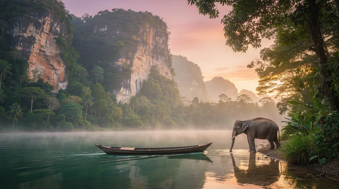
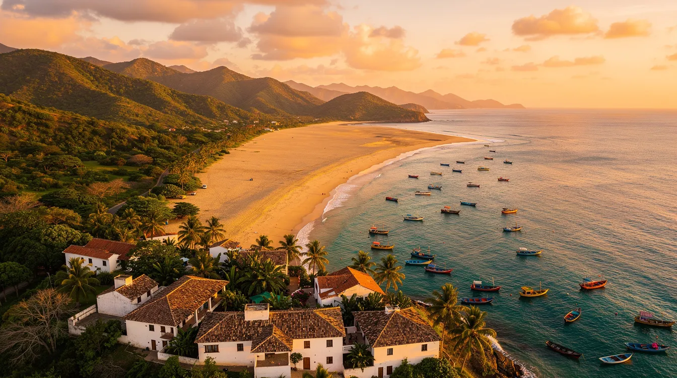
Rivers carve out key routes and livelihoods. The Sanaga River and its tributaries feed hydropower sites and irrigated agriculture, while the Wouri estuary cradles Douala, the country’s busiest port. To the north, the Logone and Chari systems drain into Lake Chad, reflecting the country’s hydrological tie to the Sahara’s rim. In the south and southeast, the forested Congo Basin extends into Cameroon, home to great apes, forest elephants, and hardwood species. A coastline of roughly 400 kilometers supports fisheries and connects coastal oil installations, ports, and beach towns from Limbe to Kribi.
Climate and Natural Resources
Four broad climate zones shape daily life and strategic planning. The southern third is equatorial, hot and humid under the influence of the Gulf of Guinea, with two rainy seasons that keep forests evergreen. The Western Highlands are cooler and misty, thanks to elevation and orographic rainfall. The Adamawa Plateau feels like a meteorological hinge: cooler than the lowlands and marked by a pronounced dry season. The Far North is semi-arid Sahel, where a single rainy season greens the plains before months of dryness.
Timing matters. For coastal and forest regions, the driest windows for road trips and fieldwork typically run from December to February, when rains relent and tracks firm up. The highlands offer comfortable conditions from late October to February, while the Far North is most accessible from November to March. If you are planning wildlife viewing in Waza or Bénoué National Parks, dry months concentrate animals around water, making sightings easier. A good habit is to pencil these seasonal rhythms onto your working map so you match routes to weather.
Natural resources are varied. Offshore and onshore oil and associated gas underpin export revenues. In the south, mineral prospects include bauxite and iron ore; in the center and east, timber and non-timber forest products support livelihoods and foreign exchange. Fertile volcanic soils in the west and along river valleys favor cocoa, coffee, bananas, and diversified smallholder systems. Biodiversity is a national asset, from mangroves on the coast to montane forests around Oku. When reading satellite layers, note how darker greens cluster in the south and along windward slopes, while paler tones index savanna and cultivated mosaics to the north. Crater lakes and volcanic cones stand out as neat circles and ridges; they are beautiful but require respect and local guidance, particularly in remote areas.
Cultural Diversity and Languages
Culture in Cameroon is a rich weave of lineages, languages, and lifeways. More than 250 ethnic groups share the national space, from coastal fisherfolk to highland farmers and Sahelian herders. This mosaic underpins diverse cuisines, music scenes, and artisanal traditions. Coastal beats gave the world makossa; Yaoundé and surrounding towns shaped bikutsi; the north pulses to Fulani rhythms. Religious life is equally varied, combining Christianity, Islam, and indigenous beliefs in patterns that shift by region.
Language is both a bridge and a badge of identity. Cameroon’s official languages are French and English, used in national administration, schooling, and media. Alongside them thrive hundreds of mother tongues across Bantu, Semi-Bantu, Chadic, and Adamawa-Ubangi families. Street corners in Douala and Yaoundé often hum with multilingual chatter, and youthful slang creatively blends codes into “Camfranglais,” a fluid urban vernacular. This linguistic dance reflects mobility and urbanization as much as heritage, and it rewards visitors who learn a few greetings in both official languages and a local tongue.
Ethnic Groups and Languages
Reading culture on a map starts with recognizing regional clusters. In the coastal and southern forests, Bantu-speaking peoples such as the Duala, Bakweri, and Fang share maritime and riverine livelihoods. The Western Highlands, sometimes grouped as the Grassfields, include the Bamileke and Bamoun, renowned for woodcarving, beadwork, and palace architecture. The central Beti-Bulu-Ewondo complex anchors traditions around kinship, song, and sophisticated oratory. In the north, Fulani (Fulbe) communities historically organized around pastoralism and emirates, while Kotoko and other groups straddle riverine and lake systems near Chad.
Linguistically, the picture is dazzling. Fulfulde serves as a lingua franca across much of the north. Ewondo and Bulu help knit together communities in the center-south, while Duala holds coastal sway. Dozens of other languages structure markets, marriages, and migration. Cartographers sometimes overlay language density maps onto transport maps to predict market hubs or to plan health outreach. If you are designing a survey or development program, mark language boundaries and urban mixing zones to match translators and messages to audiences.
For travelers and business visitors, small gestures go far. In Yaoundé and Douala, a simple “Bonjour” or “Good morning” sets a cordial tone. In Bamenda or Bafoussam, asking how to greet elders in the local language can open doors and stories. During festivals like Ngondo on the coast or Nguon in Foumban, expect dress, dance, and ritual that express identity more powerfully than any brochure. These are live maps of culture, best read with curiosity and respect.
Cameroon’s Economic Landscape

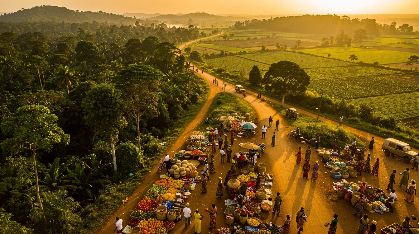
Cameroon’s economy blends resource extraction with diversified agriculture and services. Coastal energy installations and refineries complement offshore production, while the fertile west and center produce cocoa, coffee, plantains, maize, and vegetables. In the north, cotton and livestock anchor livelihoods. Manufacturing centers near Douala and Yaoundé process foods, beverages, and consumer goods, while construction and telecoms mirror urban growth. Trade arteries run from seaports to inland consumers and onward to landlocked neighbors, making logistics a national preoccupation.
At the heart of this system lies the Port of Douala, a busy estuarine harbor tied to rail and road networks, and the newer Kribi Deep Sea Port, built to handle larger vessels and bulk exports. Hydropower sites on the Sanaga and other rivers feed industry, with plans to increase capacity and grid stability. Small and medium enterprises drive employment in retail, agribusiness, and transport, while digital payments and mobile connectivity expand access to finance. For readers scanning a sectoral map, circle the nodes where agriculture, roads, and power meet; these intersections often mark growth opportunities. Equally, plot the footprints of oil, timber concessions, and mining prospects to understand export pathways and environmental trade-offs.
Economic Indicators
While figures shift year by year, several structural indicators shape the outlook. A population of roughly 31 million creates a substantial consumer base and workforce. Membership in the Central African Economic and Monetary Community links Cameroon to regional markets and a common currency, the CFA franc. Policy documents frequently emphasize diversification, aiming to reduce vulnerability to commodity cycles by expanding agro-processing, manufacturing, and tourism.
On a practical map, investors and planners should mark corridors, clusters, and constraints. The Douala–Yaoundé axis is the backbone for goods, finance, and talent. The Yaoundé–Ngaoundéré rail and connecting roads advance north to Garoua and Maroua, extending supply chains to Chad and the Central African Republic. Eastward routes from Douala through Bertoua move timber and imports toward Bangui. Southward, Kribi connects to mineral belts and coastal tourism. Noting these routes helps forecast warehouse locations, last-mile challenges, and lead times.
Constraints are as real as opportunities. Seasonal rains test secondary roads, raising transport costs and spoilage risks for perishable goods. Power reliability varies by region, affecting factory uptime. Streamlining customs and port procedures remains a perennial efficiency goal. To turn these observations into decisions, layer transport reliability, rainfall seasonality, and demand centers on your working map. That simple exercise can cut risk in site selection, fleet planning, and inventory management.
Major Cities and Their Significance
Two cities dominate Cameroon’s urban constellation. Yaoundé, the political capital set amid green hills, concentrates public administration, diplomacy, universities, and a vibrant cultural scene. Douala, the economic capital on the Wouri estuary, is the freight and finance hub, hosting the main port, banks, and a fast-evolving skyline of commerce and logistics. Understanding their complementary roles helps decode national flows of people, goods, and ideas.
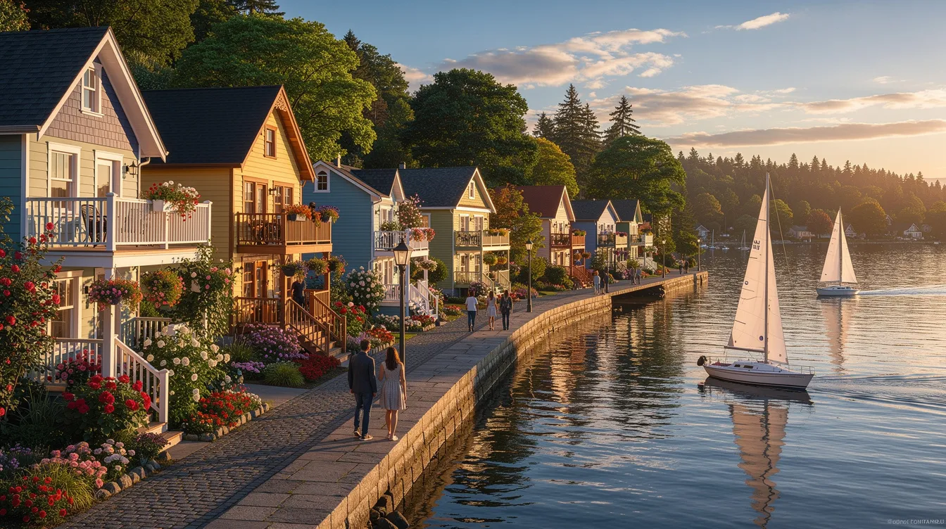
Beyond these giants, regional capitals organize trade and identity across ecological zones. Bafoussam channels highland produce and entrepreneurial energy. Bamenda is a gateway to the Northwest highlands, with dynamic markets and arts. Garoua and Maroua are Sahelian bridges for livestock, cotton, and cross-border commerce. Kribi and Limbe offer beaches, fishing, and energy infrastructure, while Buea sits on the flank of Mount Cameroon and anchors tech startups and universities. If you are plotting an itinerary or a market-entry plan on a republic of cameroon map, use these cities as anchor nodes, then branch out to secondary towns along supply and cultural chains.
Highlights of Major Cities
- Yaoundé: Hilltop neighborhoods, government ministries, embassies, and major universities. Museums and performance spaces nurture literature, film, and contemporary art. A green setting rewards walkers and cyclists when the rains ease.
- Douala: The commercial heart with the port, banks, and manufacturing. Creative neighborhoods champion design, music, and gastronomy. The Wouri bridges are strategic vantage points on urban mobility.
- Bafoussam: Capital of the West Region and a staging post for highland farms. Markets brim with coffee, tubers, spices, and crafts, while nearby waterfalls and crater lakes entice weekend trips.
- Garoua: A Sahelian city astride the Benue River, key to cotton ginneries and livestock flows. It is a launchpad for Bénoué and Bouba Ndjidda National Parks during the dry season.
- Bamenda: Cultural and commercial nerve center of the Northwest. Terraced hills, cooperatives, and artisan workshops create a distinctive highland atmosphere and offer immersion beyond big-city rhythms.
Practical tip: in the long rainy season, budget extra time for intercity travel and consider early morning departures when roads are less congested. For urban exploration, trace bus corridors and markets on your map first; that sketch often mirrors how cities truly function.
Historical Context of Cameroon
Cameroon’s history begins long before the colonial map. Ancient Sao and Kotoko cultures flourished near Lake Chad, while the Grassfields hosted centralized chiefdoms like Bamoun and Bamileke states with elaborate palaces and guilds. Coastal communities engaged early with Atlantic trade, becoming intermediaries in shifting global currents. This rich precolonial tapestry helps explain today’s regional institutions and artistic canons.
European entanglement crystallized in the late nineteenth century, when Germany proclaimed “Kamerun” in 1884. After World War I, the territory was partitioned under League of Nations mandates between France and Britain, each leaving enduring administrative, educational, and legal footprints. French Cameroun attained independence in 1960, and a year later—the result of separate plebiscites—part of British Cameroons joined in 1961, setting the stage for a bilingual republic. National referendums and constitutional changes later reshaped governance, but the bilingual character and multi-legal heritage remain central to civic life.
Colonial History and Independence
German rule began along the coast through treaties with local leaders, then pressed inland, leaving forts, plantations, and boundary marks that still appear on some historical charts. Defeat in World War I transferred administration to France and Britain, and the old colony was split into larger French Cameroun and smaller British Cameroons, the latter divided into Northern and Southern zones. This partition not only installed different school systems and legal codes but also fostered divergent political cultures that a reunited state would later need to harmonize.
In 1960, French Cameroun’s independence inaugurated the Republic of Cameroon under President Ahmadou Ahidjo. In 1961, following plebiscites supervised internationally, Southern Cameroons united with the east, creating a federal arrangement that acknowledged linguistic duality. A 1972 referendum replaced federalism with a unitary state, and in 1984 the country returned to the name “Republic of Cameroon.” Boundary adjustments with neighbors, including the Bakassi Peninsula case, were addressed through international adjudication and phased implementation, underscoring a preference for legal resolution.
Mapping these shifts is instructive. Early maps labeled “Kamerun” trace German-era borders and outposts. Mid-century atlases display the French and British mandates in separate colors. After 1961, national maps add bilingual toponyms and reconfigured provinces. If you are studying governance or law, overlay colonial-era administrative maps with contemporary divisions; patterns in court jurisdictions, school curricula, and public architecture often align with those historical lines. Reading any republic of cameroon map against this timeline turns boundaries into narratives about institutions and identity.
Cameroon’s past and present meet in daily life: in languages spoken at home and in office, in festivals and food, in how roads link farms to ports. A clear, layered view of geography brings that story into focus. As you explore or plan, sketch your own map layers—relief, seasons, cultures, and markets—and let them guide smarter travel, research, or investment across this remarkable crossroads of Africa.