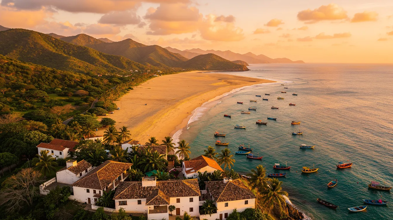
Fringed by the Indian Ocean and alive with Swahili heritage, Lindi is the kind of place that rewards unhurried travel. This coastal region in southeastern Tanzania is rich in history, bio-diverse forests and silent, white-sand beaches that rarely see crowds. Use a lindi map to trace centuries-old trade routes, island ruins and forested plateaus few visitors reach. If you’re curious, patient and ready for discovery, Lindi quietly delivers.
💡 Key Takeaways
- Lindi Region has a population of approximately 1.2 million residents.
- The region is home to two UNESCO World Heritage Sites.
- Lindi’s coastline is the longest in Tanzania at 287 kilometers.
Overview of Lindi Region
Lindi sits on Tanzania’s southeastern seaboard, stretching from the island-dotted Kilwa coast to the miombo-wooded hinterland. The regional capital is Lindi town, a laid-back port overlooking a broad bay. Trade, culture and faith have mingled here for a millennium, leaving traces from the Swahili sultanates to German and British colonial periods.
Today the region counts roughly 1.2 million residents living across fishing villages, farming hamlets and small towns like Kilwa Masoko and Liwale. Its Indian Ocean frontage forms Tanzania’s longest continuous shore at 287 kilometers, protecting coral reefs, seagrass beds and extensive mangroves. Two UNESCO listings anchor Lindi’s status as a cultural and natural crossroads, and a carefully planned lindi map helps you connect them in a single itinerary.
Geographical Features
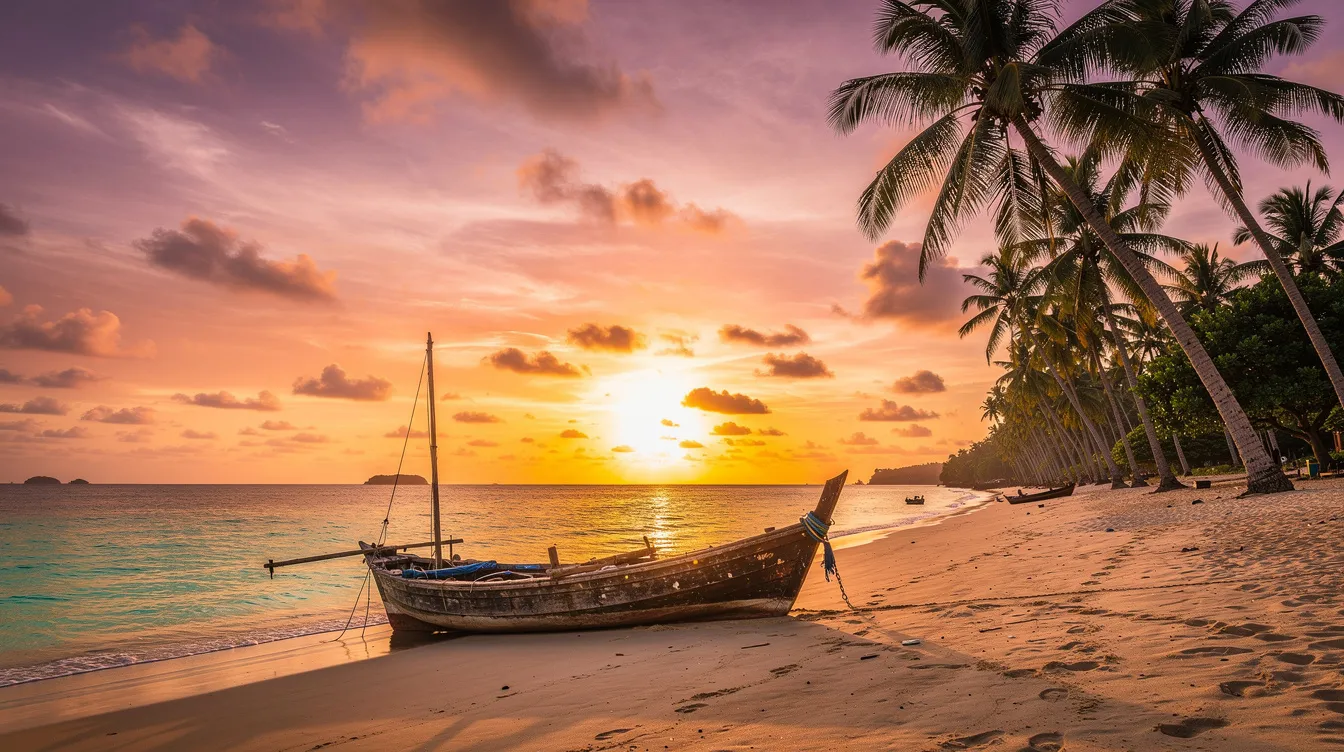
Lindi’s geography is a study in contrasts. Along the Indian Ocean, tidal creeks feed broad mangrove belts, especially around Kilwa’s inlets and the Songo Songo archipelago. Offshore, patch reefs and sandbars create calm lagoons, while inland the land rises gently to the Rondo Plateau, a biodiversity hotspot cloaked in coastal forest. Rivers such as the Lukuledi, Matandu and Mbwemkuru thread toward the sea, shaping fertile floodplains and seasonal wetlands.
On a lindi map you’ll see how island ruins sit just offshore from Kilwa Masoko, while forest reserves spread across the interior districts. This layout makes it easy to design a loop: start with the coast for history and snorkeling, then head inland for birding, night walks and village life.
Climate and Best Time to Visit
The region enjoys a warm tropical climate moderated by ocean breezes. Expect daytime temperatures between 24–31°C with two rainy periods: long rains around March to May and shorter rains in November to December. The driest, most comfortable window is June to October, when roads are firmer, sea conditions are gentler, and visibility for snorkeling is often best. As of 2026, coastal lodges and local operators typically scale up trips during this dry season.
Cultural Heritage and Ethnic Groups
Lindi’s culture flows from its Swahili coast identity and inland communities. The Mwera, Yao, Ngindo and Makonde peoples have shaped the region’s languages, crafts and customary law. Islamic scholarship and Sufi traditions are visible in mosques, tombs and seasonal celebrations, while coastal towns still build, repair and sail dhows using skills passed down for generations.
Handcrafts remain a living economy. You’ll find finely woven mats and baskets in village markets and expressive Makonde woodcarving sold as masks or abstract “shetani” sculptures. Music leans to taarab and ngoma rhythms at weddings and festivals; drop by a community event and you may be invited to dance before you can politely decline.
Local Cuisine and Dining
Coconut, cassava and the catch of the day anchor most menus. Try octopus curry (pweza wa nazi), grilled reef fish with lime, or pilau fragrant with cloves and cardamom. Inland, ugali from sorghum or cassava pairs with leafy mboga and groundnut sauces. Street-side mishkaki skewers and vitumbua rice cakes make easy snacks on bus days. Ask for fresh tamarind juice or spiced chai, and don’t miss sesame brittle from Kilwa if you have a sweet tooth.
Top Attractions in Lindi

The region’s headline sites blend archaeological wonder with raw nature. The UNESCO World Heritage Sites of the Ruins of Kilwa Kisiwani and Songo Mnara showcase medieval mosque complexes, palaces and coral-stone houses from the Swahili golden age. Inland, the Selous Game Reserve portion within Liwale District offers classic East African wilderness and riverine habitats, part of a broader UNESCO-listed ecosystem.
Beyond the famous names, coastal forests like Rondo and Pindiro protect rare species such as the Rondo dwarf galago and endemic birds. Along the shore, the Songo Songo Islands promise turtle nesting beaches and mellow snorkeling in clear channels, while Kilwa Kivinje’s old town preserves 19th-century Swahili and German-era facades that feel suspended in time. A well-marked lindi map can help you stitch these lesser-known stops into a satisfying circuit.
Key Historical Sites
- Kilwa Kisiwani: Coral-stone mosques, palace ruins and trading warehouses reached by licensed boat from Kilwa Masoko.
- Songo Mnara: A compact ruined city with intricately carved doorways and tombs, ideal for slow photography walks.
- Kilwa Kivinje: Atmospheric streets, carved doors and the old boma reflecting 19th-century trade and colonial chapters.
- Lindi Old Boma: A waterfront relic recalling early administrative days; pair with a sunset stroll along the bay.
Economy and Local Industries
Lindi’s economy is anchored by smallholder agriculture and coastal livelihoods. Farmers cultivate cashew, sesame, cassava and coconut, with cashew processing gaining value locally each harvest season. Along the shore, artisanal fishers land tuna, kingfish and octopus, while some villages farm seaweed for export-grade carrageenan.
Energy also shapes the map. The Songo Songo gas fields lie off Kilwa’s coast, with onshore facilities supporting jobs and services. Beekeeping in miombo woodlands produces sought-after honey, and community forestry projects around Rondo Plateau protect habitat while creating income. Thoughtful tourism is growing too, with historical guiding, dhow trips and forest birding tours creating opportunities for homestays and women-led cooperatives. For visitors, a lindi map that layers villages, markets and craft hubs can turn transit days into cultural detours.
Travel Tips for Visiting Lindi
Distances look short on a screen but travel is slow in the best way. Plan extra time for unpaved stretches, boat transfers to island ruins and unplanned tea invitations. Carry cash for remote stops; ATMs exist in Lindi town and Kilwa Masoko but can be offline. Mobile coverage from Vodacom, Airtel and Tigo is decent along the main corridor, thinning in forested interiors. Download an offline lindi map before you leave Dar es Salaam so navigation works even when signal dips.
Accommodation spans family guesthouses to boutique beach lodges. Simple rooms often run US$15–25 per night in towns; seafront lodges cost more but reward you with quiet sands and starry skies. For boats to Kilwa Kisiwani and Songo Mnara, arrange through the Kilwa Masoko port office or your lodge and keep your receipts handy for site entry checks.
Transportation and Accessibility
By road from Dar es Salaam, the coastal highway south passes Kilwa Masoko before continuing to Lindi town. Expect 6–8 hours to Kilwa, depending on stops and roadworks, and another 2–3 hours to Lindi. Reliable bus companies run daily; choose morning departures for smoother connections. Small aircraft serve Kilwa and Lindi airstrips from Dar several times a week, handy if you are short on time. Within towns, bajaji and motorcycle taxis handle short hops; for rural loops, hire a vehicle with clearance and a spare tire, and mark fuel points on your lindi map.
FAQs about Lindi Region
Is Lindi safe for independent travelers? Yes, with normal precautions. Travel by day, ask local advice on tides and tracks, and register boat trips with licensed operators.
How do I visit the UNESCO ruins? Base yourself in Kilwa Masoko. Buy entry and boat tickets at the official office near the jetty, then take a guided half-day trip to Kilwa Kisiwani or a full-day including Songo Mnara.
Can I combine wildlife with the coast? Yes. From Kilwa, route inland to Liwale for the Selous sector, then loop back to the coast. A printed lindi map helps with gate locations and fuel planning.
What should I pack? Light breathable clothing, reef-safe sunscreen, a hat, insect repellent, a modest wrap for villages and mosques, and a dry bag for boat crossings.
Do cards work in Lindi? Larger lodges often accept cards, but smaller businesses are cash-first. As of 2026, mobile money is widely used; ask vendors which network they prefer.
With practical prep and a curious mindset, Lindi rewards you with history-rich islands, soulful forests and beaches you might have entirely to yourself. Keep your lindi map handy, talk to local guides and let the tides set your pace. That’s the beauty of discovering Tanzania’s quiet coastal gem.